Fly over Yosemite Valley
A flight opened from this page starts over Yosemite Valley, California, near 37.731° N, 119.574° W. Swim through the air over the valley in Google's photorealistic 3D map, in a browser tab. Free, with no install and no sign-up.
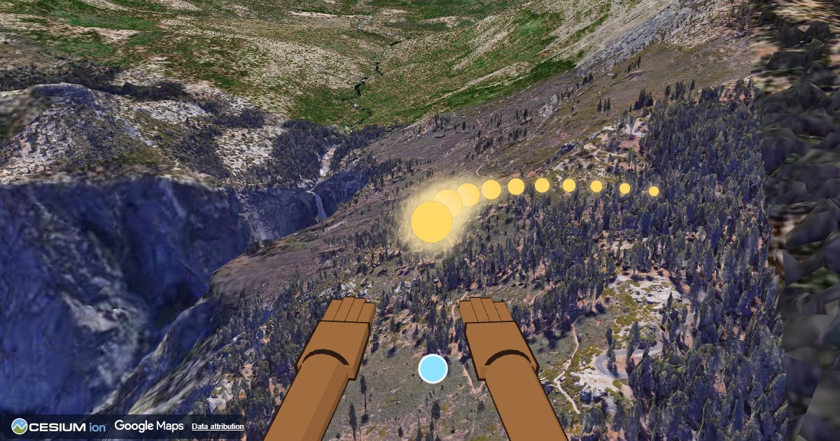
How to fly
- Swim: press Space or click, or tap on a touch screen.
- Look around: use the arrow keys, or click the view and move the mouse (Esc lets the mouse go). On a touch screen, drag.
- Golden orbs are placed ahead of you. Swim through them to refill your light. Once you have reached your first destination, your strokes weaken as the light runs low.
- The game looks 600 m to 2.5 km ahead for a high point to fly to, or, at the start where the ground drops away steeply, a low point to dive to. When it finds one, a badge points the way.
- M turns the sound on or off, L opens sharing or tries to copy a link to your starting place or current spot, and P flies to the next place.
Where to fly
When the city box is showing, you can also type the name of a place and fly there.
The 3D map is Google's Photorealistic 3D Tiles, drawn with CesiumJS. What DreamFlyer records.